

Product Description
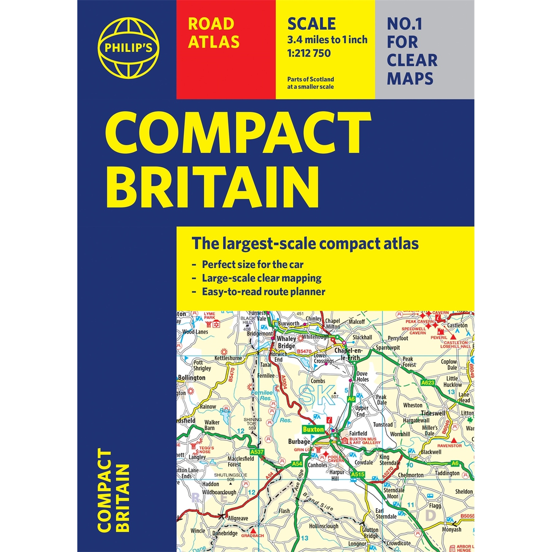
 Philip’s Compact Britain Road Atlas
Author: Philip's Maps
Format: Spiral-bound
Newly updated in a handy spiral-bound lie-flat format, Philip’s Compact Britain Road Atlas features the super-clear digital cartography, which was voted Britain’s clearest and most detailed mapping in an independent consumer survey.
All of Great Britain in a super-clear set of maps specially created to fit in a glovebox, bag, backpack or motorcycle tank bag, with resilient lie-flat binding to ensure you have the detail you need and never get lost. A route planning section will help you navigate around the island easily and every part of Britain is clearly mapped.
 Features:
-
Chunky ‘glovebox’ format – perfect for the car or backpack
-
Lie-flat spiral binding and A5 size – ideal for a motorcycle tank bag
-
Completely updated and revised with the latest information
-
Compact and great value for money
-
The clearest, most detailed road maps in a compact format
-
Complete coverage of Great Britain at 3.3 miles to 1 inch
-
Includes a 6-page route-planning section
-
Spiral binding for robust, long-lasting use
For custom orders and quotes: shop@schoolspace.co.za
© 2026 Schoolspace. This product description is the exclusive intellectual property of the publisher, protected under copyright law. Unauthorized use, adaption, or copying is strictly prohibited.