

Product Description
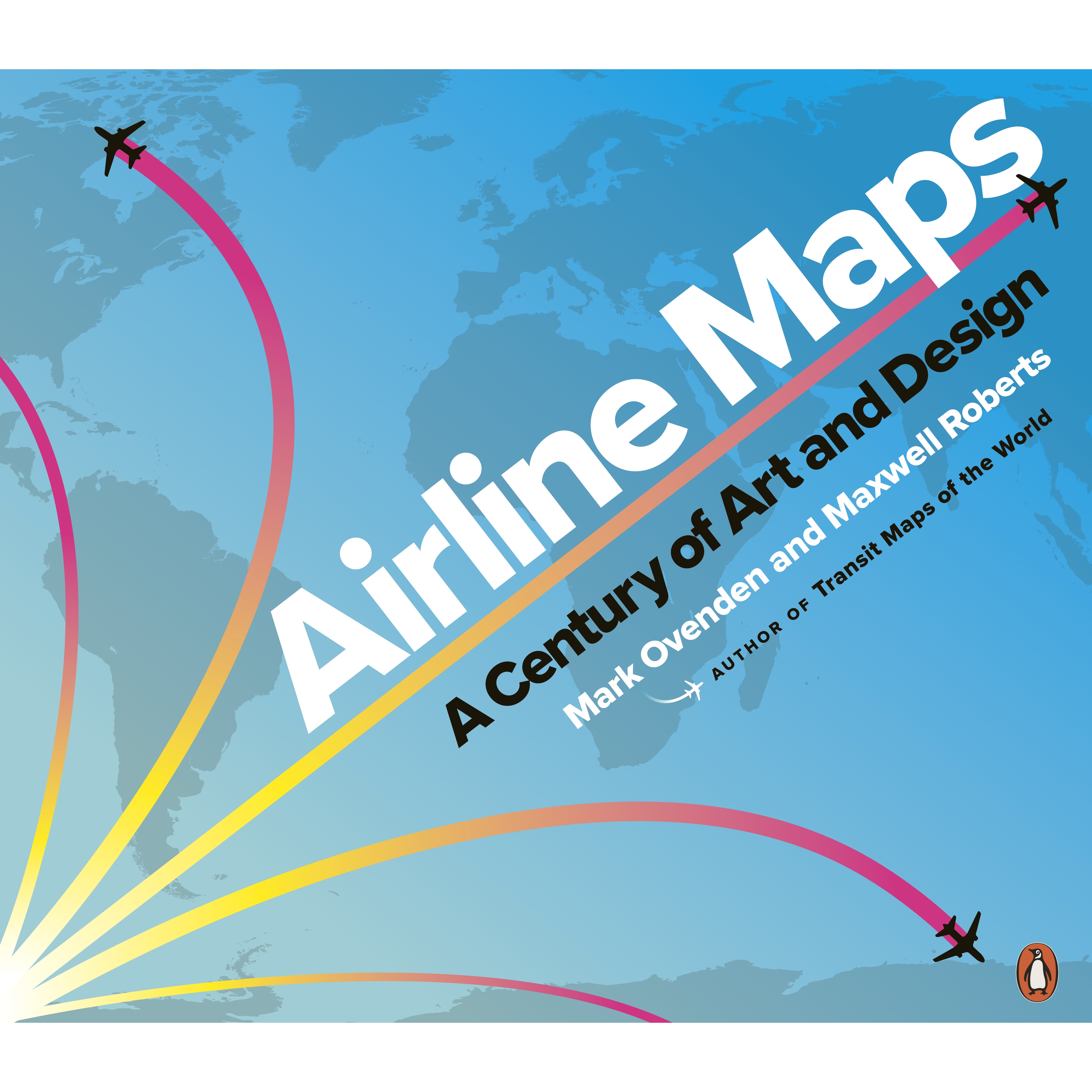
 Airline Maps
Authors: Mark Ovenden, Maxwell Roberts
Format: Paperback
A Century of Art and Design
A celebratory look back at one hundred years of passenger flight, featuring full-colour reproductions of route maps and posters from the world's most iconic airlines
From the first faltering flights over plains, water, and mountains to the vast networks of today, air travel has transformed the world and how people see it. Maps played their part in showing what was possible and who was offering new opportunities.
As tiny operations with barely serviceable airplanes pushed out farther and farther, growing and merging to form massive global empires, so the scope of their maps became bigger and bolder, until the entire world was shrunk down to a single sheet of paper. Designs featured sumptuous Art Deco style, intricate artistry, bold modernism, 60s psychedelia, clever photography, and even underground map-style diagrams.
For the first time, Mark Ovenden and Maxwell Roberts chart the development of the airline map, and in doing so tell the story of a century of cartography, civil aviation, graphic design and marketing. Airline Maps is a visual feast that reminds the reader that mapping the journey is an essential part of arriving at the destination.
For custom orders and quotes: shop@schoolspace.co.za
© 2026 Schoolspace. This product description is the exclusive intellectual property of the publisher, protected under copyright law. Unauthorized use, adaption, or copying is strictly prohibited.